

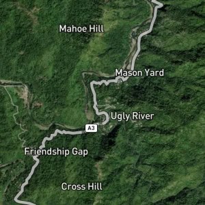
Saint Helena is a place in Clarendon, Jamaica and has an elevation of 843 metres. Saint Helena is situated nearby to the area District of Davyton and the locality Cumberland.
Type: Locality
Category: Human Settlement
Latitude: 18.1° or 18° 6' north
Longitude: -77.43333° or 77° 26' west
Elevation: 843 metres (2,766 feet)
Population: N/A
Parish: Clarendon
County: Middlesex
Country: Jamaica
Region: Caribbean, West Indies (W.I.)
Continent: North America
Type: Locality
Category: Human Settlement
Latitude: 18.1° or 18° 6' north
Longitude: -77.43333° or 77° 26' west
Elevation: 843 metres (2,766 feet)
Population: N/A
Parish: Clarendon
County: Middlesex
Country: Jamaica
Region: Caribbean, West Indies (W.I.)
Continent: North America