

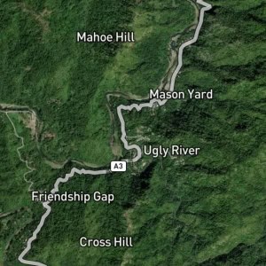
Smokey Vale is a neighborhood in St. Andrew, Jamaica. Smokey Vale is situated nearby to the neighborhoods Havendale and The Rockhamptons.
Type: Neighborhood
Category: Residential Area and Locality
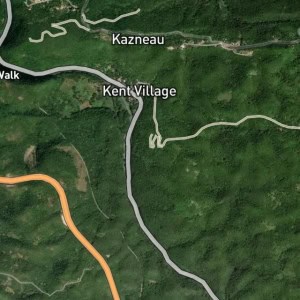
Latitude: 18.06356° or 18° 3' 49" north
Longitude: -76.81411° or 76° 48' 51" west
Elevation: 488 metres (1,601 feet)
Population: N/A
Parish: Saint Andrew
County: Surrey
Country: Jamaica
Region: Caribbean, West Indies (W.I.)
Continent: North America
Type: Neighborhood
Category: Residential Area and Locality
Latitude: 18.06356° or 18° 3' 49" north
Longitude: -76.81411° or 76° 48' 51" west
Elevation: 488 metres (1,601 feet)
Population: N/A
Parish: Saint Andrew
County: Surrey
Country: Jamaica
Region: Caribbean, West Indies (W.I.)
Continent: North America