

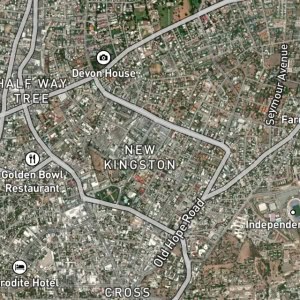
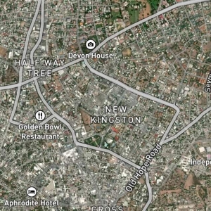
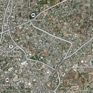
Swallowfield is a place in St. Andrew, Jamaica. Swallowfield is situated nearby to the locality Niger Corner and the neighborhood Beverly Hills.
Type: Locality
Category: Locality
Latitude: 18.0049° or 18° 0' 18" north
Longitude: -76.7744° or 76° 46' 28" west
Elevation: 104 metres (341 feet)
Population: 3100
Parish: Saint Andrew
County: Surrey
Country: Jamaica
Region: Caribbean, West Indies (W.I.)
Continent: North America
Type: Locality
Category: Locality
Latitude: 18.0049° or 18° 0' 18" north
Longitude: -76.7744° or 76° 46' 28" west
Elevation: 104 metres (341 feet)
Population: 3100
Parish: Saint Andrew
County: Surrey
Country: Jamaica
Region: Caribbean, West Indies (W.I.)
Continent: North America